
Exploring square plots good excuse for drive
woodctystringer@gmail.com
Time for an annual county tour.
Having already done a circumnavigation of the county, an investigation into the middle of the county and a drive-about Lake Fork, the tour needed a mission. …
This item is available in full to subscribers.
Attention subscribers
To continue reading, you will need to either log in to your subscriber account, or purchase a new subscription.
If you are a current print subscriber, you can set up a free website account and connect your subscription to it by clicking here.
If you are a digital subscriber with an active, online-only subscription then you already have an account here. Just reset your password if you've not yet logged in to your account on this new site.
Otherwise, click here to view your options for subscribing.
Please log in to continue |
Exploring square plots good excuse for drive

Time for an annual county tour.
Having already done a circumnavigation of the county, an investigation into the middle of the county and a drive-about Lake Fork, the tour needed a mission.
While examining a map of the county it was noticed how there were five nearly-square plots of land cut by county roads. For lack of a better reason to spend a day driving, it was determined to go and investigate those small plots.
While considering the route, a copy of the Texas Land Survey Maps (TLSM) for Wood County was pulled off the shelf.
For folks who may be unfamiliar with the TLSM series, they are a unique treasure of information. The large-scale maps place the original grantee and patentee and their plots atop an up-to-date map of the county.
The maps are remarkable for a couple of reasons. Not only do they portray bodies of water (including small ponds) but they also trace the paths of creeks. Even with no traditional topography annotated, drainage can yet be investigated through myriad creeks traversing the county.
Folks who enjoy referring to something by its proper name will relish knowing exactly where Chicken Creek and Turkey Creek feed into the Big Sandy.
Additionally, all roads in the county are depicted, albeit one must at times very carefully trace their routes.
With shaded boundaries, the original land abstracts are outlined on each map. Within each parcel is printed the name of the original grantee and the abstract number.
Each abstract is defined in the Abstract Listing section which includes the grantee, the patentee, the date of the patent or title, the acreage and locating information held by the Texas General Land Office. For clarification, a grantee was the person given the original right to purchase a particular parcel of land, while the patentee was the person who took original title to the parcel.
Of the 710 abstracts documented for Wood County, predictably 92% of the land transactions were from the 19th Century. Five date from 1835 and are the earliest on record: William Barnhill 4605.5 acres, Antonio Calderon 2214.2 acres, Gray B. King 4605.5 acres, Jose De Jesus Ramirez 1476.13 acres and Jose Maria Cervantes 1475.989 acres.
The Barnhill title was largely what became the Cartwright community. The Calderon, Ramirez and Cervantes parcels were in the general area of the Stout and East Point communities, while the King title encompassed all of what is now Winnsboro and a large chunk of adjacent land to the south and southeast.
Other interesting entries include patents to railroad companies including the Buffalo Bayou, Brazos and Colorado Railroad, and the Houston and Great Northern Railroad. Close inspection of the plots along the Sabine reveal two claims by railroads south of Hoard, which likely were for bridges.
Names are always an interesting phenomenon, especially names which today have largely fallen out of frequent use. Perusing the abstracts uncovers many of them including Hiram (Hiram Edwards), Jahazy (Jahazy Morrow), Friend (Friend McMahon), and Asa (Asa Weems).
Females names can also be found among the abstracts. As an example, in 1854 Lucinda Braden was recorded as the patentee for a 320-acre parcel which today is split in half by FM 17 in the southwestern corner of the county.
Armed with a sense of history, the 2023 county drive-about got underway. It came to a halt on the CR 2260 causeway over Lake Holbrook, as a large “V” was observed in the lake. Closer examination revealed an otter underway on a Monday morning. That was unexpected.
The first destination was the small square area defined by FM 779, FM 17, CR 2954 and CR 1668. One of the first mornings with a hint of coolness in the air, it prompted folks to take in their morning from a porch. It was great to see.
The first objective reminded that there are parts of this rural county which are fairly well-populated.
Passing through Alba, the second square was bounded by CR 1560, CR 1562 and CR 1563. A surprising peek from the northeast corner of the square revealed a view with some elevation. A vehicle advertising “The Creature Teacher” made the list of something to research in the future.
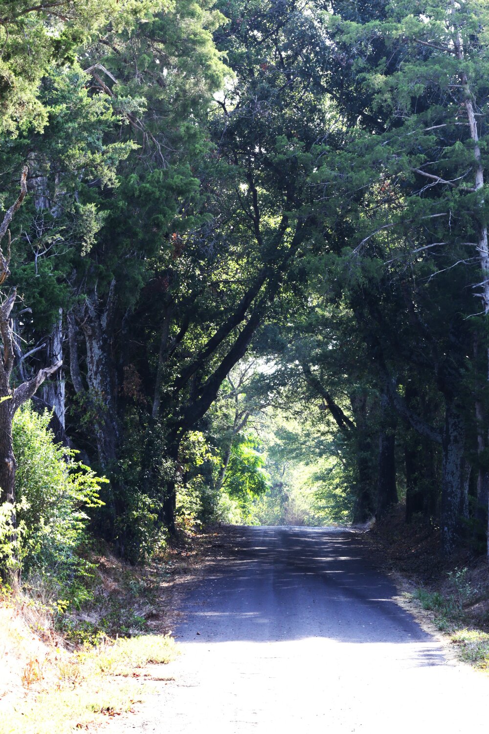
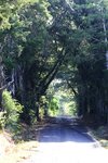
The third objective, just north of Pleasant Grove, was shaped by CR 4287, CR 4283, CR 4280 and CR 4255. County Road 4283 afforded a nice photo opportunity of the road being enclosed by trees from either side. It had a cathedral-like effect.
On the way up to Pleasant Grove the telltale signs of drought were everywhere – including large piles of brush and tree-fall waiting to be burned. The pastures were also yellow-dry, despite sporadic rain which had fallen over the weekend.
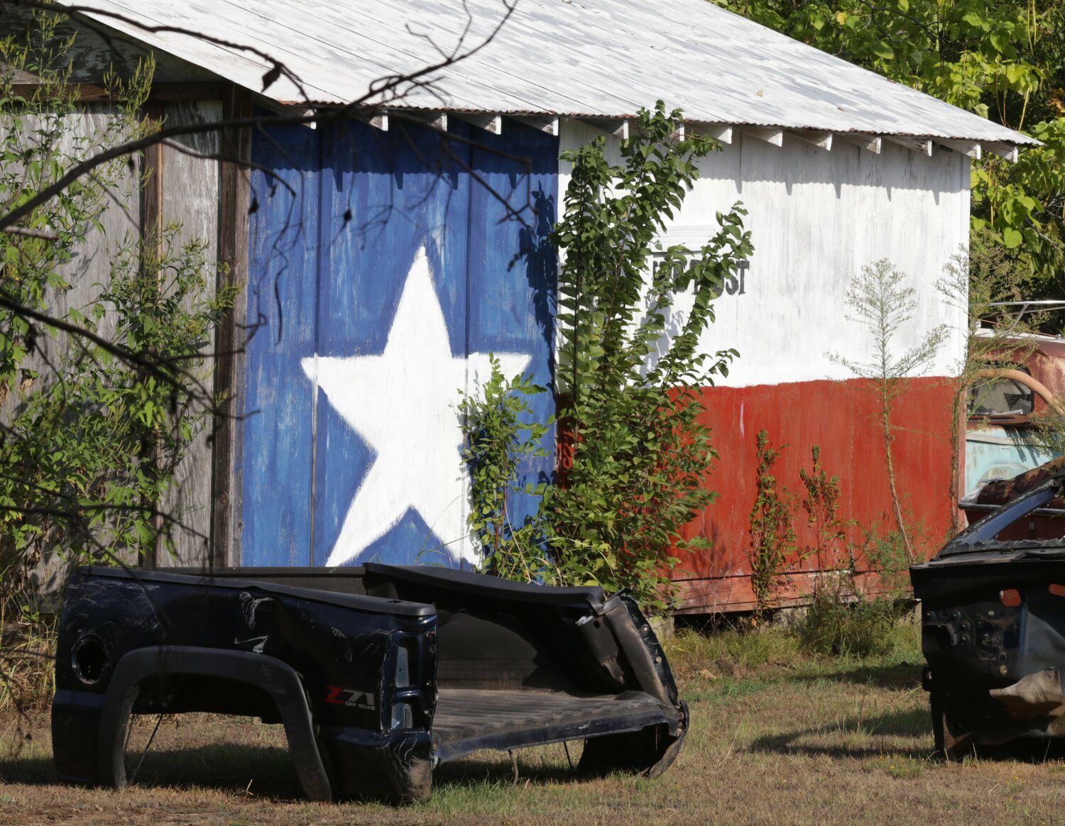
A Texas barn sighted at the corner of CR 4990 and FM 515 made the whole trip worthwhile.
Heading east, the next objective at the corner of Tx 11 and FM 115 was just shy of the Camp County line. Good quality pastureland contained some mature hardwood trees. The herd was lapping up the shade as the late morning sun was already beginning to feel oppressive.
One contented cow seemed to pose with some birds tending to its hygiene as it lay in the shade.
The final destination for the drive-about was just northeast of Hawkins, necessitating a long drive down the eastern boundary of the county. Most of that transit south was done just over the line in Upshur County. FM 1002 revealed some of the type of country which draws folks to East Texas. Land with just enough relief to be interesting but gentle enough to be used for anything.
While driving the square of FM 2659, CR 3689, CR 3688, CR 3660 and CR3620, it was noted that the plot had a bit of everything: woods, improved pasture, some elevation change, water. The homes populating the small square reflected this variety of use.
In 1854 John Moseley obtained a grant to purchase a large parcel which included this last small square of the drive-about. According to the abstract, George Glasscock and Israel Jessup actually took title of the Moseley parcel. One wonders how they used the land.


